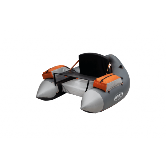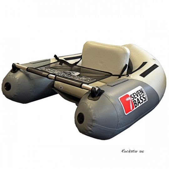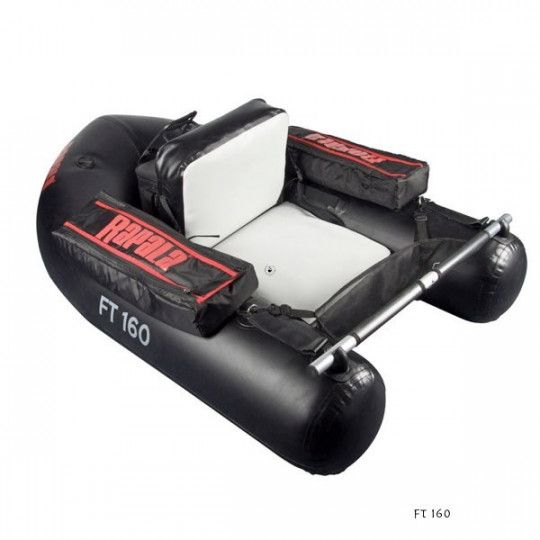


Hand pump Rapala Float Tube
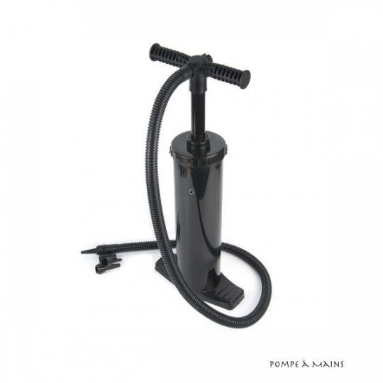
Hand pump Rapala Float Tube
Shipping 24 H
Price
€19.90
Voir le produit