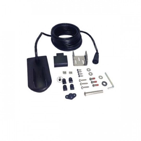
Support Berkley Ball Mounting System & Fish F. Holder
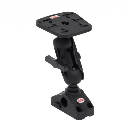
Support Berkley Ball Mounting System & Fish F. Holder
Shipping 24 H
Price
€49.99
Voir le produit